Objective:
Develop a multi-variable dataset to explore the impacts of lightning flashes on humans and man-made infrastructure, including wildfires, air pollution, and power outages.
Design Constraints and Features:
- Each data “collection” will be associated with a single lightning event, and contain the conditions (for example, fire burned area) for a user-defined time before and after the event, and over a user-defined region centred at the flash;
- Data collections will include information about the timing and location of the flash, as well as 3D or 4D fields of fire burned area, nitrogen dioxide, and power outages;
- The dataset will be stored in a hierarchical file format (e.g., netCDF, HDF); and,
- The product will maintain traceability back to all source datasets.

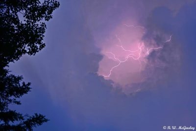
Image credit: R. W. McGauley
Background:
Lightning is one of the biggest natural sources of nitrogen oxides (an air pollutant), is the main cause of natural wildfire ignition, and is among the natural drivers of power outages. Lightning is becoming more frequent as a result of climate change, particularly in the Arctic. This challenges some of the ways we traditionally think about lightning and climate.
Deep clouds form lightning when electric charges separate and voltage builds until a discharge occurs. Then, heat in the discharge breaks down atmospheric nitrogen (N2) into nitrogen oxides (NOx = NO and NO2). NOx is a precursor of ground-level ozone pollution. If the discharge strikes the surface or infrastructure, a wildfire or power outage may occur. Unfortunately, research into trends in lightning freqency in a warming atmosphere is inconclusive. Thus, how the various effects of lightning on the earth system respond to climate change represents a critical research gap.
Data on lightning flashes themselves and their effects exist separately across various instruments. Satellite instruments such as the Lightning Imaging Sensor (LIS) observe the location and timing of lightning flashes. Instruments like the Tropospheric Monitoring Instrument (TROPOMI) measure air pollution like NOx before and after flashes. The Moderate-Resolution Imaging Spectrometer (MODIS) takes routine measurements of wildfire strength, location, and burned area. The NASA Nighttime Lights series of data products (NTL) has information about power outages. The technical challenge is to combine these four datasets (LIS, TROPOMI, MODIS, NTL) into a single long-term record. Each data “collection” is centred around a lightning flash event. Such a dataset enables research into climate-scale trends of lightning and its effects as a function of location and timing.