Annual Evacuations Are Already Happening

Approaching the halfway point in the data that we harvested from the CDD, patterns are emerging. The recurrence of certain types of events and specific communities also means that pieces of a large puzzle are starting to fall into place.
In the first seventy-or-so events, the most prominent geography was the Red River basin that runs through Manitoba. These events represent mass evacuations, sometimes of major urban centres, as well as numerous First Nations communities, whose populations are significantly smaller. As the number of evacuees in each event decreases, the events move more and more into Indigenous communities, where an evacuation figure of 950 represents all of the residents, less a few dozen people who often stay behind to ensure that emergency measures are properly in place.

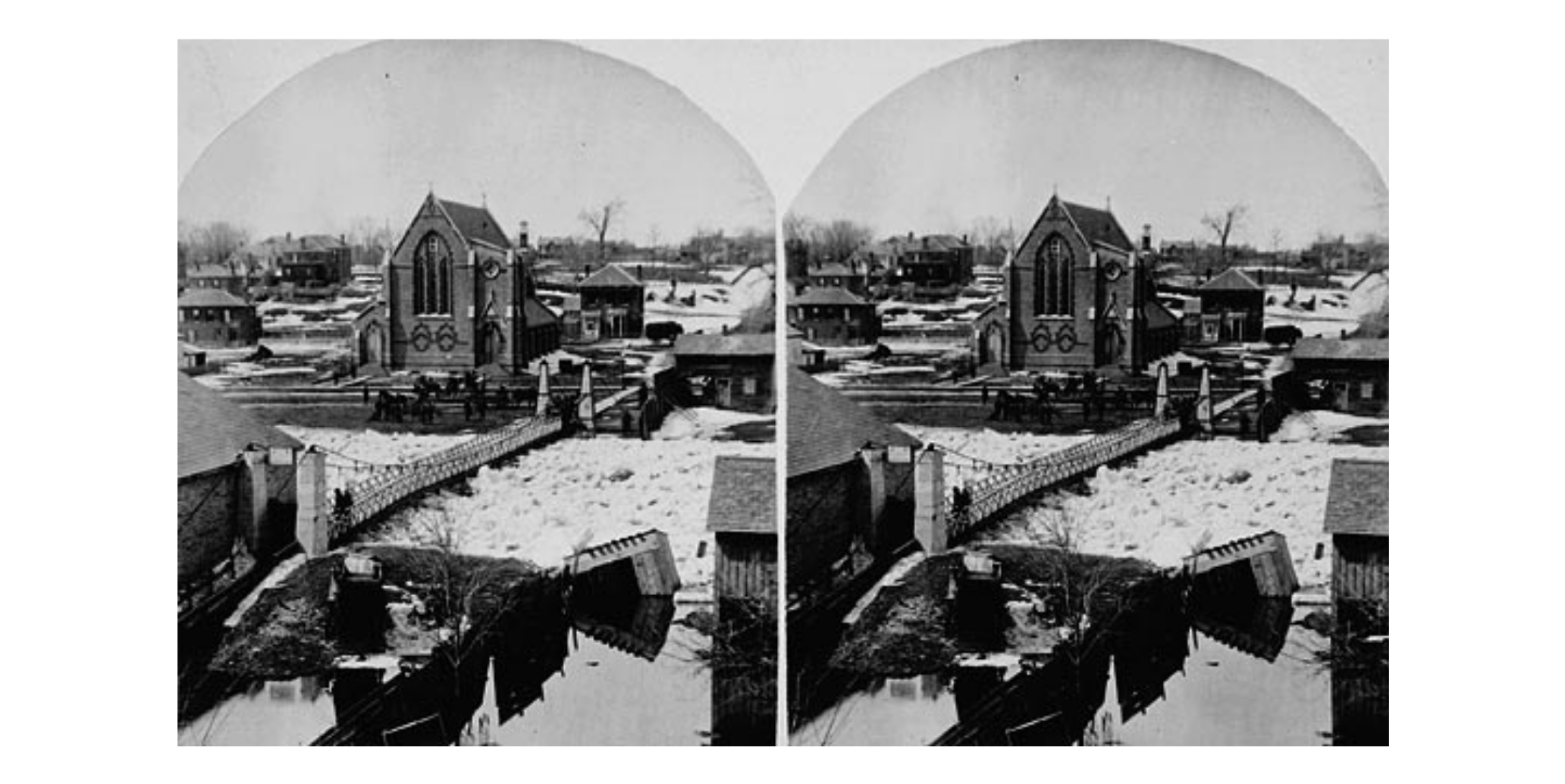
First Nations communities in Northern Saskatchewan and Northern Ontario come up in the database more frequently than any of the urban centres in the south, facing evacuations from both wildfires and flooding. There are several reasons why these communities face regular evacuations. There are natural phenomena that contribute to flooding in the north, for example, ice jams are more frequent and have more potential for destruction on north flowing rivers. Ice melts in the southern parts of the river, breaks up, and flows downstream. As these chunks of ice move further north, where the temperatures are lower, they collide with ice that has not yet broken up, creating a jam and causing the river to overflow its banks.
Communities have their permanent settlements along waterways for many reasons, including tradition, relocation, and access to resources. Increased incidents of flood events and the location of these communities mean that some of these populations are evacuated at least annually.
– MA Candidate, Arden Hody