Mapping Disasters
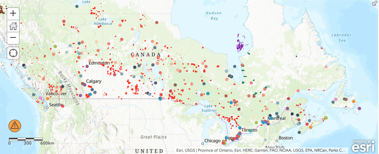
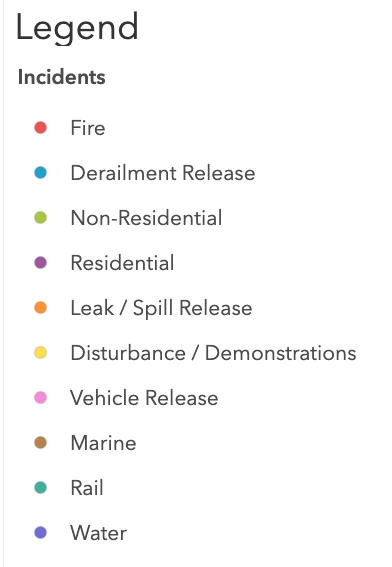
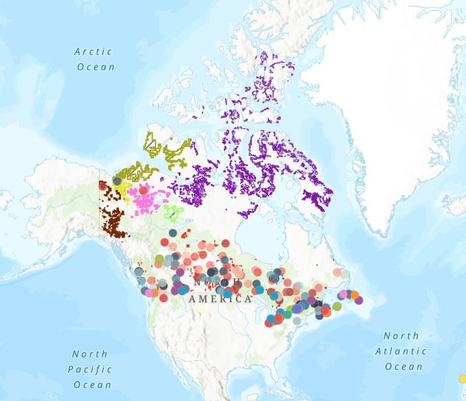
Grade 11 students at the Ottawa-Carleton Virtual Secondary School used data from the Canadian Disaster Database to observe patterns and trends in the occurrence of disasters across Canada and reflect on the impact that disasters have on people living in Canada. Using ArcGIS to visualize the data, students observed that natural disasters like wildfires appear to be increasing in frequency, which led into a discussion of the influence of climate change. Students also observed the close proximity of many disasters to First Nations reserves and discussed the economic, social and environmental impact that this would have for First Nations People living on impacted reserves. Concerns for infrastructure were noted, including the high price to repair damaged infrastructure. Students also identified concerns with the mental distress associated with frequent disasters, the impact of disasters on animal habitats and migration patterns which may impact the community’s food supply and the impact that relocation can have on a culture’s cohesion and connection to the land. Having access to such a large pool of data challenged students to think deeply about the impact that disasters have on Canada and Canadians.