By Tyrone Burke
Photos by Martin Lipman
Mohamed Atia commutes to work and runs errands in a Toyota Yaris, but when he duct tapes a set of sensors to the vehicle, attaches an antenna to the roof and connects the equipment to a small custom-built computer on the front passenger seat, the nondescript silver hatchback is transformed into a window to the future of transportation — minus the duct tape, of course.
Atia, a Systems and Computer Engineering professor at Carleton, drives around the city looking for places where Global Positioning System (GPS) and Global Navigation Satellite Systems (GNSS) signals are blocked by buildings, tunnels and other infrastructure.
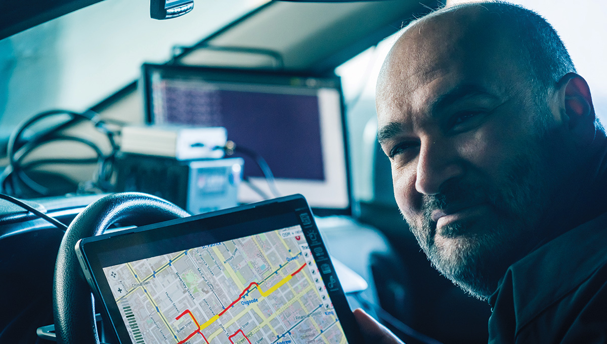
Mohamed Atia
This telecommunications hiccup is not a big problem for human drivers: it could temporarily interfere with their ability to check Google Maps, or even — gasp! — force them to pull over and ask for directions. But the lack of GPS and GNSS is a critical gap to overcome for a world in which driverless cars will need to safely navigate amongst pedestrians, cyclists, stationary objects and other vehicles.
“Self-driving cars need to be able to precisely perceive their environments and determine their positioning and orientation,” says Atia, a sensor fusion expert who brings together data from multiple sources to identify a vehicle’s location in real time.
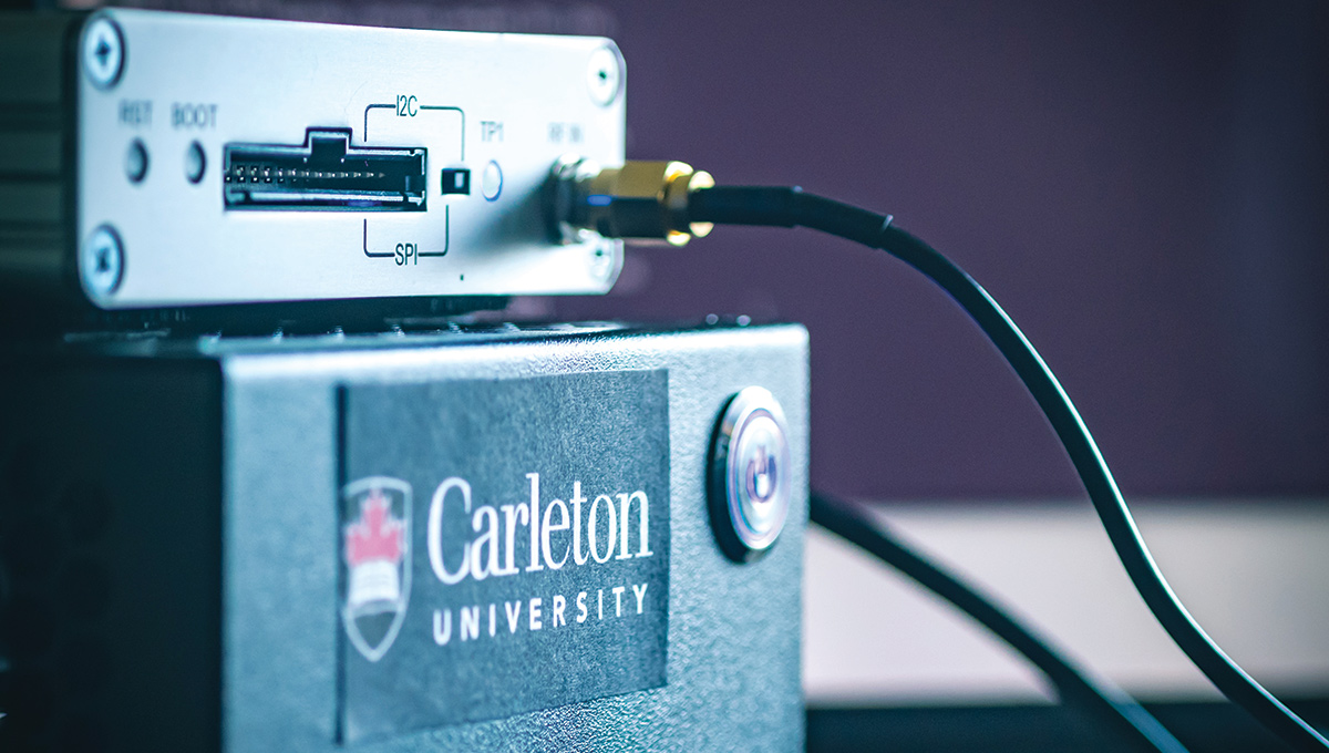
In his lab on the fourth floor of Carleton’s Minto Centre for Advanced Studies in Engineering, Atia — part of a large contingent of researchers at the university who are working on the development of connected and autonomous vehicles — places a small satellite receiver on the windowsill to demonstrate the risks of relying on single type of technology for navigation.
Although there should be at least four satellites within range, due to urban interference, the screen connected to his receiver shows only one dot in the sky overhead. “Self-driving cars need to know where they are at all times,” says Atia. “This gives them ‘path control’ and determines how they behave in the next instant. If you don’t have an accurate calculation of your position and orientation, you won’t be able to avoid a collision or reach your destination.”
Driverless Cars Need Reliable Information for Safe Navigation
To come up with this calculation, Atia and three of his grad students have developed an algorithm that crunches data from multiple sensors, providing more reliable information than any one of those sensors could on its own to determine how far a vehicle has travelled from its last-known position.
The accelerometers and gyroscopes that are part of a car’s inertial measurement unit calculate a vehicle’s speed and trajectory, and the algorithm references that data against known GNSS data such as road geometry and topography that’s used in today’s on-board GPS systems.
“Vehicles already have high-performance computing platforms,” says Atia.
“Scientists and engineers are working to optimize these platforms.”
To collect the data needed to fine-tune the algorithm, Atia drives around Ottawa in his hatchback. In the future, the on-board computers in connected and autonomous vehicles will be loaded with geographical information that includes local road features such as traffic lights, speed limits and speed bumps. But if the vehicle doesn’t precisely know where it is, all that information will be useless, so engineers like Atia have to find a way to fill in the blanks.
Much of their work in the years ahead will take place at Ottawa’s L5 connected and autonomous vehicle testing facility, an 1,866-acre site with 16 kilometres of paved roads and a control centre on a former research farm in the city’s west end. The facility opened last year and will provide Carleton researchers and their private-sector and government partners with an ideal proving ground for the development and demonstration of technologies that cannot be tested on city streets.
“L5 offers world-class testing grounds for the safe implementation of our algorithms,” says Atia, who has already used the facility’s advanced navigation infrastructure as a ground-truth comparison for his algorithms.
“With buildings that create GNSS blind corners and fully functioning traffic lights, our algorithms can be tested on roads in Ottawa’s unpredictable four-season climate.”
In the meantime, he’ll be driving his car around the city, moving closer to a safe future, one kilometre at a time.
Thursday, January 9, 2020 in Short Reads
Share: Twitter, Facebook