 NOW ON ZOOM DUE TO FREEZING RAIN WARNINGS
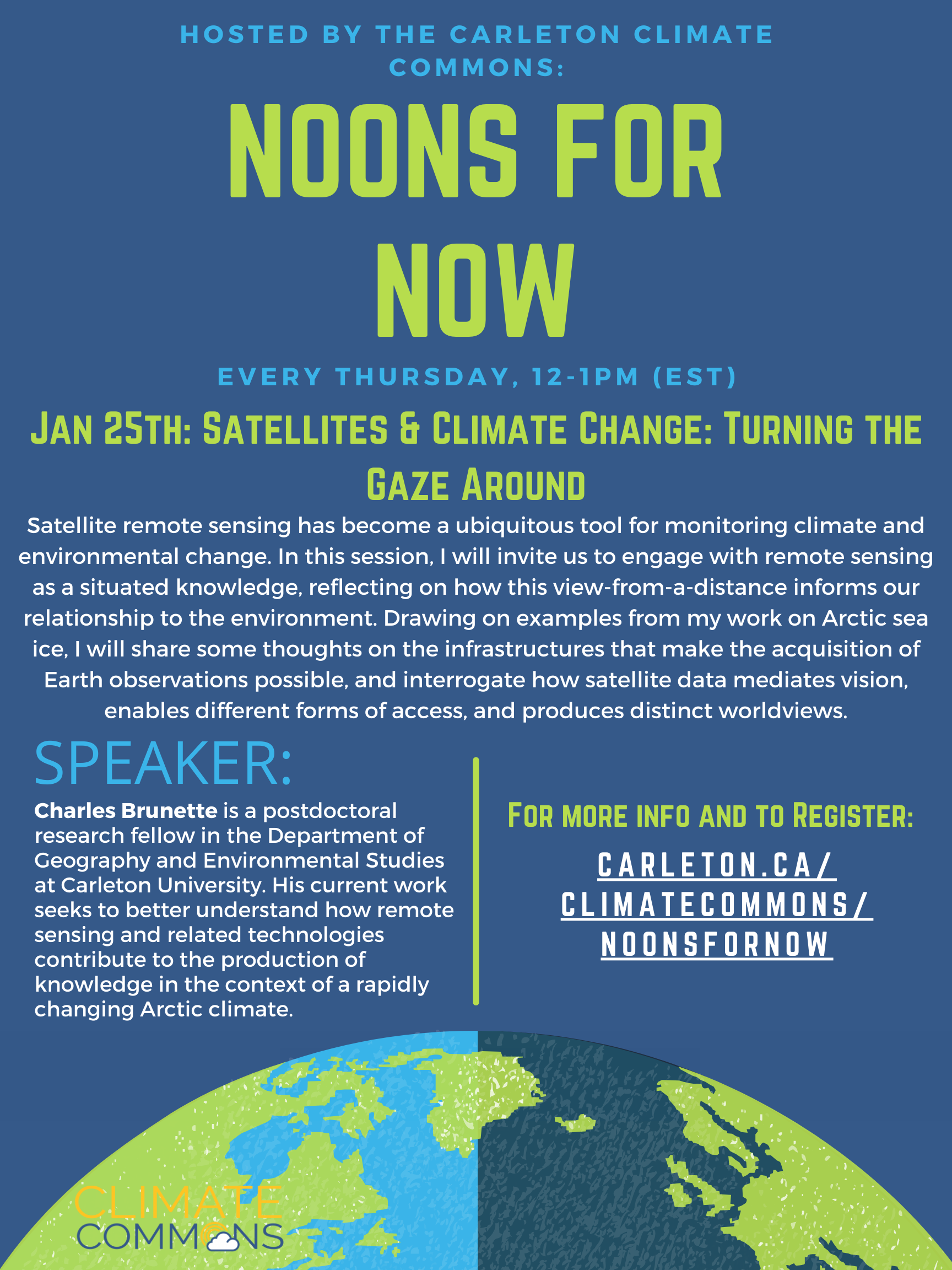
Satellite remote sensing has become a ubiquitous tool for monitoring climate and environmental change. In this session, I will invite us to engage with remote sensing as a situated knowledge, reflecting on how this view-from-a-distance informs our relationship to the environment. Drawing on examples from my work on Arctic sea ice, Charles Brunette will share some thoughts on the infrastructures that make the acquisition of Earth observations possible, and interrogate how satellite data mediates vision, enables different forms of access, and produces distinct worldviews.
Speaker: Charles Brunette is a postdoctoral research fellow in the Department of Geography and Environmental Studies at Carleton University. His current work seeks to better understand how remote sensing and related technologies contribute to the production of knowledge in the context of a rapidly changing Arctic climate.
Actions
- Be curious of images and sources
- Be critical of the images you see
- Question if this image if accurate and factual> research into satellite imagery
- Consider the commodity exchange graph and our role in it
- Think about who images are before, whether you are taking them or looking at them
- Think about the communities affected by satellite imagery
- Consider how satellite imagery and weather tracking works in your day to day life
Resource List
The following is a list of resources recommended by attendees at our event.
Online Sources from Charles Brunette:
- Open-weather collective: https://open-weather.community
- Upcoming WildFireSat mission: https://www.asc-csa.gc.ca/eng/satellites/wildfiresat/
- Anna Guasco (2022), On an ethic of not going there https://doi.org/10.1111/geoj.12462
- Bruun & Guasco (2023), Reimagining the ‘fields’ of fieldwork https://doi.org/10.1177/20438206231178815
- Bennett et al. (2022), The politics of pixel: A review and agenda for critical remote sensing https://doi.org/10.1177/03091325221074691
- Jennifer Gabrys (2018), Becoming Planetary https://www.e-flux.com/architecture/accumulation/217051/becoming-planetary/
- Deondre Smiles (2020), The Settler Logics of (Outer) Space https://www.societyandspace.org/articles/the-settler-logics-of-outer-space
Websites:
- Open-Weather Collective
- WildfireSat Mission – Canadian Government
- National Oceanic and Atmospheric Administration (US)
- Global Climate Observing System
- NASA Moderate Resolution Imaging Spectroradiometer (MODIS)
- Dark Ice Exhibition, Leslie Reid and Robert Kautuk
Books:
- Gabrys, J. Program Earth: Environmental Sensing Technology and the Making of a Computational Planet. (University of Minnesota Press, 2016).
- Woods, D. Ecocriticism on the Edge: The Anthropocene as a Threshold Concept by Timothy Clark. Configurations 26, 502–504 (2018).
Articles:
- Guasco, A. On an ethic of not going there. Geographical Journal 188, 468–475 (2022).
- Bruun, J. M. & Guasco, A. Reimagining the ‘fields’ of fieldwork. Dialogues in Human Geography (2023)
- Bennett, M. M., Chen, J. K., Alvarez León, L. F. & Gleason, C. J. The politics of pixels: A review and agenda for critical remote sensing. Progress in Human Geography 46, 729–752 (2022).
- Becoming Planetary, Jennifer Gabrys, 2018
- The Settler Logics of (Outer) Space, Deondre Smiles, 2020
- Engelmann, S., Dyer, S., Malcolm, L. & Powers, D. Open-weather: Speculative-feminist propositions for planetary images in an era of climate crisis. Geoforum 137, 237–247 (2022).
- Haraway, D. Situated Knowledges: The Science Question in Feminism and the Privilege of Partial Perspective. Feminist Studies 14, 575 (1988).