Maps, Satellites and the Geospatial Revolution (GEOM 1004)
Maps, Satellites and the Geospatial Revolution (GEOM 1004)
Department of Geography and Environmental Studies, Carleton University, Summer 2021
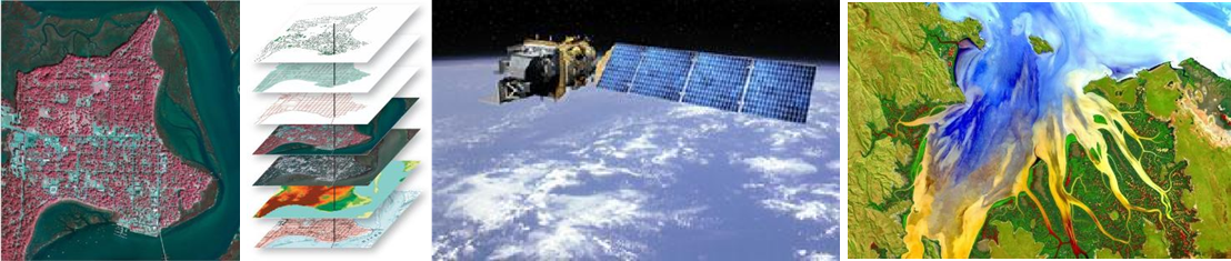
The objective of GEOM 1004 is to introduce various theoretical concepts and background information on geospatial data and tools and to get hands-on experience with specialized software. This course provides an introduction to geospatial technology and covers topics including Global Positioning System (GPS), Geographic Information System (GIS), Cartography and Remote Sensing (RS). With the recent advancement, accessibility and affordability of geospatial data, more disciplines have started to utilize this cutting-edge technology for various applications. Students in different programs can take advantage of the knowledge and practical skills that they learn in this course to solve real world problems in their own discipline.
Course delivery format will be a mixture of synchronous and asynchronous instructions. All practical activities will be taught synchronously, allowing students to watch live software demonstrations, and to share screen to receive one-on-one help from the instructor when needed. Practical sessions will be recorded and made available so that students can re-watch as needed when working through assignments on their own time. Finally, the software in this course will be available to download and install on students’ windows computers, and non-windows users will be able to access required software through a Carleton University Virtual Machine environment.