Registration Now Open – Critical Approaches to Geospatial Research in Canada
Building respectful and informed geospatial practice in Northern and Indigenous contexts, based on a critical approach to remote sensing and geomatics.
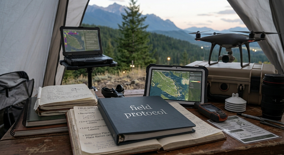
The Department of Geography and Environmental Studies is pleased to announce that registration is now open for the upcoming Critical Approaches to Geospatial Research in Canada course. This innovative professional learning opportunity is designed for students, researchers, government employees, Indigenous organizations, non-profit practitioners, and industry professionals interested in examining the social, ethical, and political dimensions of geospatial technologies and data.
As geospatial technologies become increasingly integrated into research, policy development, environmental management, and decision-making, there is a growing need to understand not only how these tools are used, but also the broader implications of their application. This course provides participants with an opportunity to critically engage with contemporary geospatial practices in the Canadian context while exploring questions of power, representation, data governance, equity, and inclusion.
Through a combination of lectures, discussions, case studies, and applied learning activities, participants will explore key topics related to geographic information systems (GIS), mapping, spatial data, Indigenous geographies, participatory approaches, and responsible geospatial research. The course encourages learners to reflect on how geospatial knowledge is produced, whose perspectives are represented, and how geospatial technologies can be applied in ways that support ethical, collaborative, and community-centered outcomes.
Participants will gain valuable insights into current debates and emerging practices shaping geospatial research across Canada. The program emphasizes critical thinking and practical application, helping learners develop the skills needed to evaluate and implement geospatial approaches in academic, government, community, and professional settings.
By the end of the course, participants will have developed a deeper understanding of critical geospatial research principles and will be better equipped to engage with geospatial data and technologies in thoughtful, responsible, and socially informed ways.
Spaces are limited, and early registration is encouraged. For full details on course content, schedule, fees, and registration information, visit the official course page:
Critical Approaches to Geospatial Research in Canada | Carleton University
Stay tuned for more professional development and continuing education opportunities from the Department of Geography and Environmental Studies.