Ashraf Elshorbagy
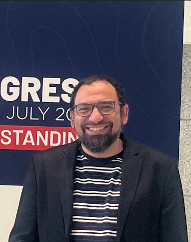
Postdoctoral Researcher
Throughout my career, I have consistently demonstrated a passion for leveraging cutting-edge technologies to solve real-world challenges. My academic background includes a PhD in Civil Engineering (Geomatics) from Toronto Metropolitan University and MSc in Environmental Engineering from American University in Cairo. I’ve spent the last 20+ years bridging the gap between cutting-edge spatial science and real-world execution. Whether in government, industry, consulting, or university research, my focus has always been applied: turning complex data from satellite imagery, multi-mode LiDAR, and aerial sensors into solutions people can actually use.
My research path has taken me from designing remote-sensing workflows adopted nationally in Egypt to monitor millions of hectares of cropland and rice areas mapping to sensor fusion and co-inventing a world-first 3D LiDAR mapping system (holding both a Canadian patent and a US patent application). Through collaborations with industry partners including WSP, IBW Surveyors, and LEA Consulting, I have helped advance applied research in digital twins, transportation asset management, and roadway analytics. This work has included developing innovative workflows that reduced field effort by approximately 50% while improving the efficiency of geospatial data collection and analysis.
For me, the most rewarding part of this work is passing it on. Whether when teaching courses, modernizing university Earth Observation curricula or serving as Chair of the Canadian Remote Sensing Society (Ottawa Chapter), I am constantly energized by using technology to solve complex problems and helping others do the same.
Through a Canadian Space Agency (CSA) funded project, I am currently working with Scott Mitchell and Koreen Millard on a national, cross-sector initiative that brings together more than a dozen stakeholders from government, industry, NGOs, and academia to address the growing gap between geomatics graduates’ skills and evolving workforce needs. The initiative focuses on understanding and responding to the transformative impact of emerging technologies such as Geospatial Artificial Intelligence (GeoAI) and Geospatial Foundation Models (GeoFMs), and the broader paradigm shift they are driving across the geospatial sector.
Selected highlights
Canadian Patent #3148650 “SYSTEMS AND METHODS FOR MULTI-SENSOR MAPPING USING A SINGLE DEVICE THAT CAN OPERATE IN MULTIPLE MODES” Owners & Inventors; Ashraf Elshorbagy (Canada), Ahmed Shaker (Canada); Issued 2025-07-22
USA Patent Application
SYSTEMS AND METHODS FOR MULTI-SENSOR MAPPING USING A SINGLE
DEVICE THAT CAN OPERATE IN MULTIPLE MODES
USA Patent Application No. 17/636537 filing date February 18, 2022
National Phase Entry of PCT/CA2020/051133
International Filing Date: August 20, 2020
Applicants & Inventors: Ashraf Elshorbagy and Ahmed Shaker
PhD Dissertation (basis for the Canada patent & USA patent application)
Elshorbagy, A. (2020). A Crosscutting Three-modes-of-operation Unique LiDAR-based 3D Mapping System, Generic Framework Architecture, Uncertainty Predictive Model and SfM Augmentation. Doctoral Dissertation, Department of Civil Engineering, Toronto Metropolitan University (TMU), Toronto, Canada
Book Chapter
Easa, S., Ma, Y., Elshorbagy, A., Shaker, A., Li, S., & Arkatkar, S. (2020). Visibility-Based Technologies and Methodologies for Autonomous Driving. In Self-driving Vehicles and Enabling Technologies. IntechOpen.
Conference Presentations
Elshorbagy, A., Mitchell, S., & Millard, K. (2026). Building capacity in satellite-based Earth observation and HQP training: Canada as a use case. [Paper presentation] ISPRS Annals of the Photogrammetry, Remote Sensing and Spatial Information Sciences, XI-5-2026, 3–8. doi.org
Elshorbagy, A., Shaker, A., McArthur, J., Damm, M. (2022, June 22–23). Cognitive Digital Twin [Presentation]. AWS Summit Toronto, Toronto, ON, Canada
Elshorbagy, A., Shaker, A. (2019, June 4–6). A novel cost-effective pipeline for 3D mapping using SfM and VLP-16 [Paper presentation]. 40th Canadian Symposium on Remote Sensing & Geomatics Atlantics, Fredericton, NB, Canada.