Posts sorted by GIS
2 min read
New Article: Introducing the Canadian Accessibility and Remoteness Index (CARI+)
2 min read
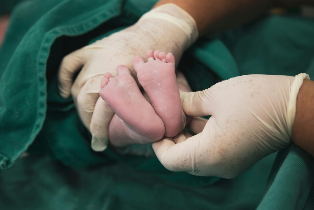
StoryMap: Access to Obstetrical Care Across Canada
2 min read
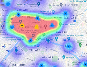
Collaboration: Place-Based Analysis to Understand Health Seeking Behaviour
2 min read
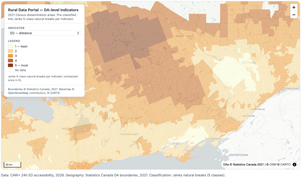
Protocol: Spatial models of access to health and care services in rural and remote Canada
2 min read
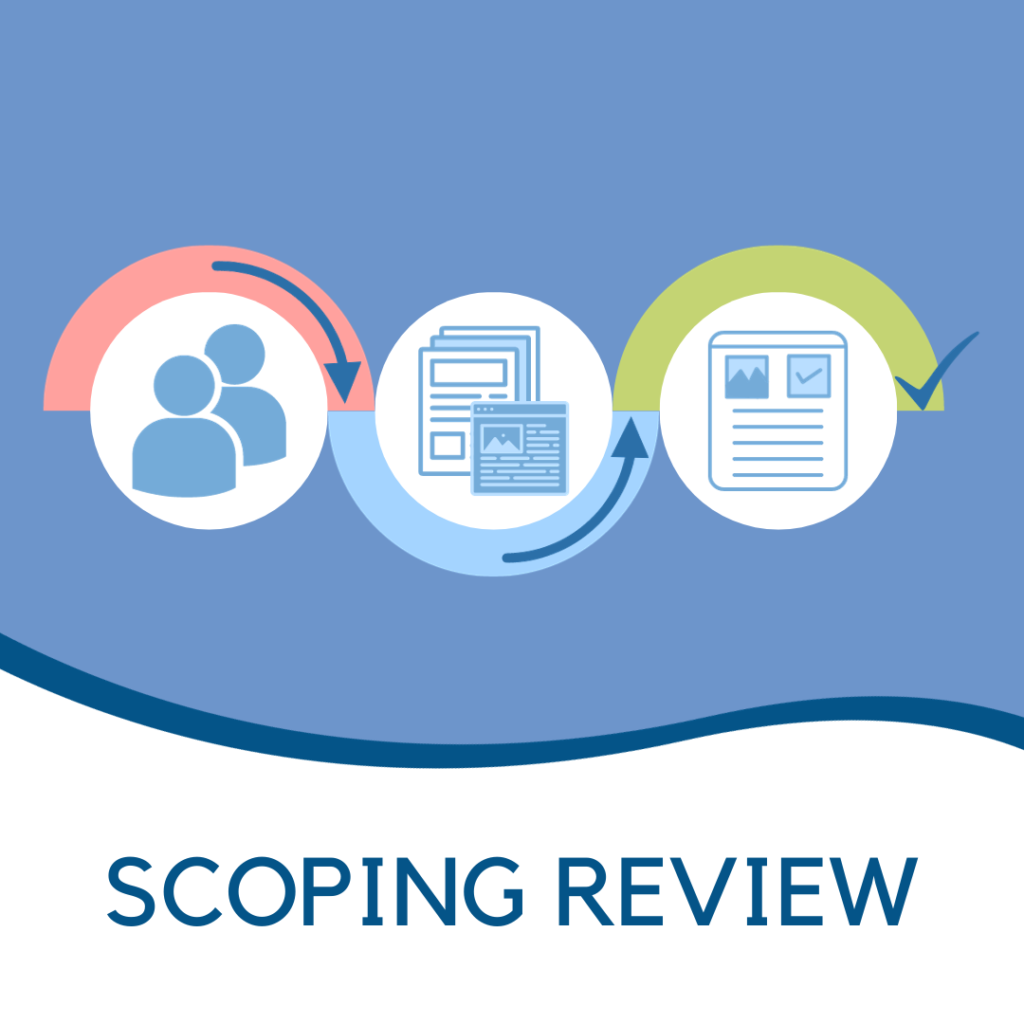
New Article: Exploring the use of geographic methods to understand sexual- and gender-based violence: a scoping review
4 min read
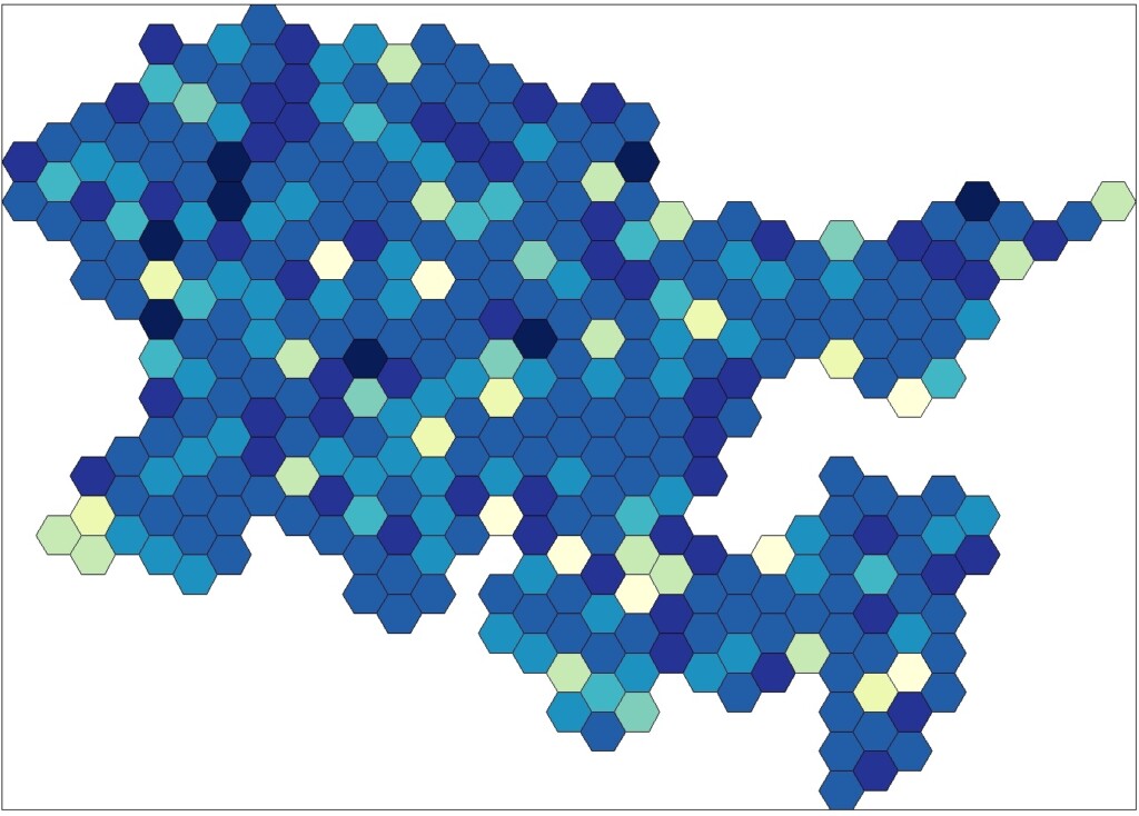
Collaboration: Southlake OHT GeoAnalytics
ArcGIS StoryMap | Substance Use and Addictions in Rural Eastern Ontario
Page 1 of 1