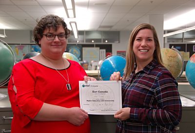
Congratulations Erin Turnbull! Recipient of the 2019 ESRI Scholarship
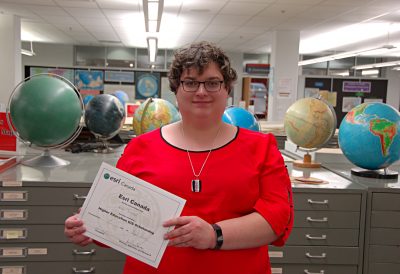
Erin Turnbull, 4th year BScH in the Earth Sci and Physical Geography Combined Major, has been awarded Carleton’s nomination for the annual Esri Scholarship. Erin is a Dean’s Honour List student in the program stated above, and she earned the scholarship thanks to faculty nomination as an excellent student in our Geomatics courses, along with a stellar record of academic achievement throughout her degree.
Erin’s research area and why she chose to study Earth Sciences and Physical Geography:
“Geomatics, for me, is one of the more interesting fields of study. Many research questions today deal with the management and analysis of complex spatial data such geological formations, soil types, watershed precipitation, urban planning, archaeological reconstructions, disease or crime patterns, construction site selection, natural hazard avoidance, and long-term climate modelling to name a few. These questions often come from disparate disciplines and use different methodologies. To work in geomatics is to be something of a generalist. Each question needs to be teased apart into (a) what data we have and (b) what do we want to know about it. From there, a wide array of tools can be leveraged to gain insight into how our data is spatially related or organized.
One of the things that brought me into Earth Sciences and Physical Geography was climate modelling. The sheer complexity of the planet, with dozens of major processes interacting at every scale, is fascinating. That people can model it and understand it amazed me, and I wanted to see how they did it. I wanted to see how the vast amount of data is stored, how spatial gradients are handled, and how the discrete cells are joined together. While simple energy balance models can provide a reasonable large-scale picture, the local impact of climate change is highly dependent on the local climate. This makes GIS an important part of solving what is, for me, one of the most interesting and most important scientific research questions today”.