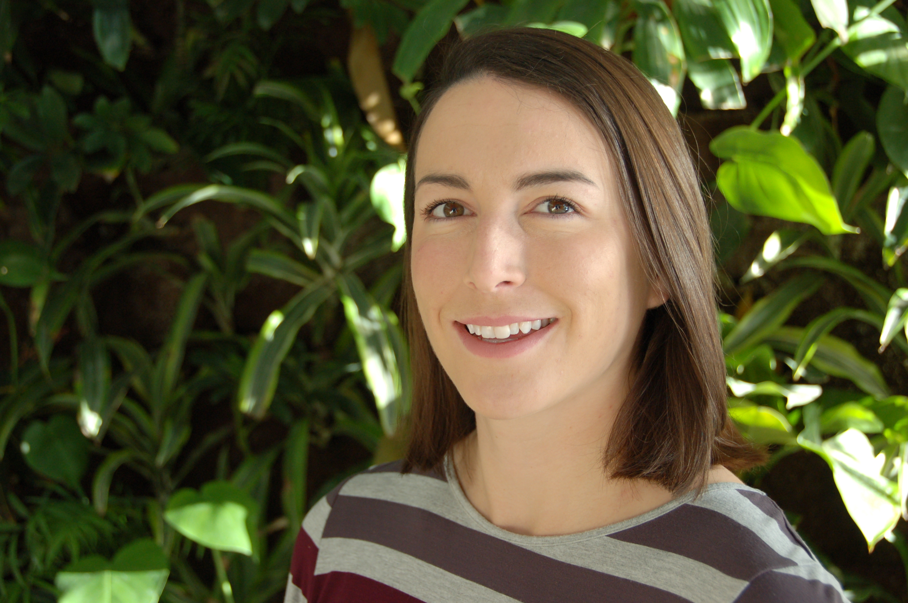
Graduate Student Emily Lindsay recently published in Rangeland Ecology and Management Journal

Emily Lindsay
“I completed both my undergraduate degree (Geomatics and History) and MSc (Geography) at Carleton University. I am now a Geography PhD candidate. When I am not located behind a computer monitor, I can be found on the curling ice, in the swimming pool, or fly fishing with my partner.
My doctoral research is focused on remote sensing applications for vegetation mapping and monitoring, more specifically I am working on improving regional scale land use/land cover classification of rangeland and seeded forage areas in Alberta’s Grassland Natural Region. Although watching grass grow from space seems boring, problems with distinguishing between native and non-native grass types using both optical and radar data have kept me busy for both my MSc and PhD research projects. I am also interested in modelling biomass for forage yield forecasting and monitoring the effects of drought for different Grassland subtypes.
My doctoral work is co-supervised by Dr. Doug King, Professor and Co-director of the Geomatics and Landscape Ecology Research Laboratory at Carleton University and Dr. Andrew Davidson who is the Manager of Earth Observation in Agriculture and Agri-Food Canada’s Centre for AgroClimate, Geomatics and Earth Observation (ACGEO) and Adjunct Research Professor at Carleton University.”
Emily’s recently published journal article can be found here:
Lindsay, E., D.J. King, A.M. Davidson1 and B. Daneshfar1. 2019. Canadian prairie rangeland and seeded forage classification using multi-season Landsat 8 and summer Radarsat-2 data. Rangeland Ecology and Management, 72: 92-102. 1Agriculture and Agri-Food Canada.