Congratulations Koreen Millard on receiving a NSERC Alliance Advantage Grant
Congratulations to Associate Professor Koreen Millard on receiving an NSERC Alliance Advantage grant for her land-based conservation research! You can find more details about her research below.
“Land-based conservation is crucial for preserving biodiversity, which is increasingly threatened by human activities and climate change. Additionally, it protects significant carbon stocks, serving as an important tool in Nature Based Climate Solutions, while also potentially contributing to Indigenous reconciliation in Canada. Yet, a lack of regular monitoring leaves conservation areas vulnerable to gradual disturbances from anthropogenic and climate cumulative effects and potential misuse, such as illegal logging. Conservation managers, like those at the Nature Conservancy of Canada (NCC), need tools to track changes in land cover, habitats, biomass, and carbon storage both within and near management areas. Efficiently monitoring those areas, which can be vast or isolated, presents a challenge.
Through a partnership with the NCC, the overall goal of this project is to improve the ability of conservation managers to make informed decisions by harnessing information acquired from earth observation data. The outcomes of this research will have immediate impact for our conservation manager partners (NCC) and will be immediately available for all conservation managers in Canada and globally.
The specific outcomes of this project will be:
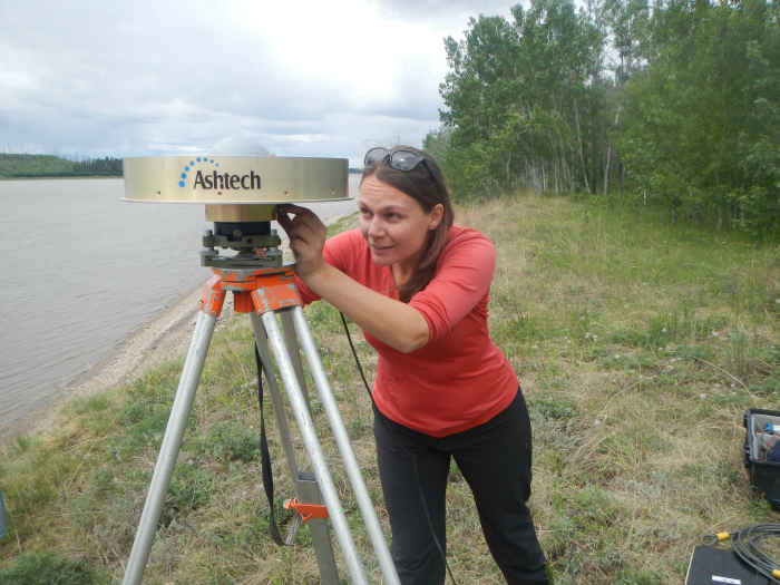
1. Improving Field Data Collection: The current field data collected for conservation purposes is not always suitable for the development and validation of automated machine-learning based models. We will develop field data collection protocols that enable conservation managers to collect data in the field that is useful for integrating remote sensing-derived knowledge about land-cover and change.
2. High-Resolution Mapping: Multi-purpose land-cover classes produced for other purposes (e.g. relevant classes, biophysical indicators, etc.) or information at relevant scales for conservation purposes. We will analyze and test current methods and make recommendations on best practices for large-area, high resolution, near real-time classification.
3. Open-Source Monitoring and Change Detection Tools: Most current change detection methods focus on moderate spatial resolution imagery with long time series and general land cover classes. We will assess and adapt current tools, or create new tools if needed, that enable change to be detected using high resolution imagery and for specific land cover classes needed for conservation management. This toolset will enable conservation managers to determine when either abrupt (e.g. illegal cutting, wildfire, flooding) or gradual/continual (e.g. greening, browning, drought) changes are occurring in and adjacent to their management areas.
4. Improved estimates of carbon stocks from above-ground biomass (AGB): NCC wants to monitor changes in AGB regularly and comprehensively at specific sites, surpassing the currently accepted method (field plots), to promptly measure carbon stocks. We will develop multi-scale, multi-sensor remote sensing techniques (Remote Piloted Aircraft System (RPAS) lidar, multispectral and SAR imagery) and scaling models to directly monitor AGB. The results will be compared with previous estimations produced using the Carbon Budget Model of the Canadian Forest Sector (CBM-CFS3), and linkages will be made to change detection and maps created in previous objectives. This will enable NCC to monitor AGB more frequently and improve estimates of carbon storage within their managed areas.”