Further Advances in Cybercartography
Dr. D. R. Fraser Taylor, Director, Geomatics and Cartographic Research Centre

Dr. D. R. Fraser Taylor is pleased to inform you of the publication of two new books on Cybercartography, published in September and October of 2019, by Elsevier, outlining some of the recent work of the Geomatics and Cartographic Research Centre (GCRC).
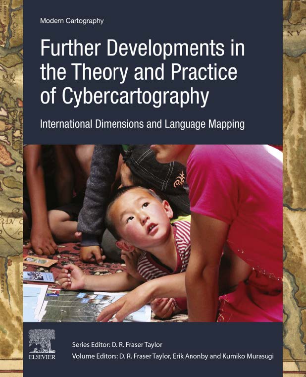
Taylor, D. R. Fraser, (Editor) Anonby, E., Murasugi, K. (Associate Editors). (2019) Further Developments in the Theory and Practice of Cybercartography: International Dimensions and Language Mapping Volume 9. Amsterdam: Elsevier
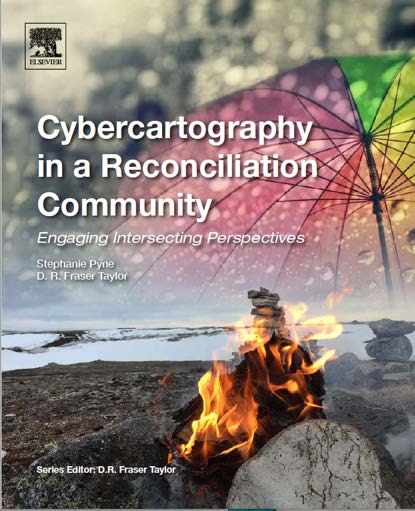
Pyne, S. A. and Taylor, D. R. Fraser, (2019) Cybercartography in a Reconciliation Community: Engaging Intersecting Perspectives Volume 8. Amsterdam: Elsevier
Cybercartography
Cybercartography was first introduced in a keynote address to the International Cartography Society’s Conference in 1997 and since that time the concept has been developed at the Geomatics and Cartographic Research Centre (GCRC) at Carleton University. Readers will recall an article in EDUCT in September 2014 outlining the essence of Cybercartography in a book entitled “Developments in the Theory and Practice of Cybercartography” published that year. Since that time both the theory and the practice of Cybercartography have continued to expand and are now being applied both national and internationally in new areas. The two new publications examine some of these exciting developments.
Further Developments in the Theory and Practice of Cybercartography, Elsevier, 2019

In the Further Developments in the Theory and Practice of Cybercartography book the introductory chapter is entitled “Cybercartography Revisited” and the term is redefined as a complex, holistic, user-centred process which applies location-based technologies to the analysis of topics of interest to society, and the presentation of the results in innovative ways through cybercartographic atlases. A cybercartographic atlas is a metaphor for all kinds of both qualitative and quantitative information linked by location and displayed in innovative, interactive, multimodal and multisensory formats. Cybercartographic atlases allow user communities to tell their own stories from their own perspectives not those of the outsider which is too often the case in traditional cartographic products.
Both mapping and storytelling are basic human instincts and are a central part of the holistic nature of cybercartography. The “Development from Within” process by which these atlases are produced is as equally important as the atlases themselves. Some of the atlases can be viewed on the GCRC website at http://gcrc.carleton.ca.
The first part of the book deals with cybercartographic theory as well as the evaluation of the Nunaliit cybercartographic atlas framework which is the software used to create the atlases. Nunaliit means community in Inuktitut and the framework is easy to learn and to use. It has been developed in an iterative fashion and is specifically designed for community-based use taking into account the conditions of isolated communities where conditions such as low band width and limited accessibility often exist.
The second part of the book gives examples of new applications. These include the development of the Fifth Thule Expedition Atlas by the Kitikmeot Heritage Society in Cambridge Bay which is working with the National Museum of Denmark in the digital return of the rich archival material in the Museum from the Rasmussen Expedition of 1921-24. This was one of Arctic history’s most ambitious research programs and it documented Inuit cultures and Arctic prehistory from Greenland to Iceland at a time when Inuit culture had not been influenced to any great extent by the resettlement and other policies of governments. The atlas is re-creating the expedition’s route and findings from an Inuit perspective (www.thuleatlas.org). This innovative project is one of the most exciting new applications of Cybercartography and Nunaliit.
Other chapters outline the uses of Cybercartography in an international context in Brazil, Mexico as Kyrgyzstan, discuss the Indigenous Elder William Commanda’s story, and the historical geography of Roman Britain.
Cybercartography advances in an iterative fashion and benefits from applications to new areas. In this volume the use of Cybercartography by a talented team of linguists is resulting in innovative new forms of language maps both in Canada and Iran as well as new applications to Indigenous mapping such as the Ethnophysiographical Knowledge of Kanyen’kéha (Mohawk). The contribution of the linguists to the advancement of Cybercartographic theory and practice is important and ongoing, with a strong emphasis on process which is taking language mapping in exciting new directions. This is only the beginning of a promising and evolving area of new research and application.
This work has taken Cybercartography in new directions and pointed the way to future directions. The future in this respect is indeed bright.
Cybercartography in a Reconciliation Community, Elsevier, 2019

Cybercartography in a Reconciliation Community was published in October 2019 two weeks after the Further Developments in the Theory and Practice of Cybercartography book. The lead author Stephanie Pyne is a Postdoctoral Fellow in the Geomatics and Cartographic Research Centre and she also made an important contribution to the Further Developments in the Theory and Practice of Cybercartography book. The book, as its title suggests looks at the important topic of Reconciliation and Residential Schools especially in the Canadian context and expands and deepens the emerging work with Indigenous Peoples; this is central to the ongoing work of GCRC. The book grows out of a Social Sciences and Humanities Research Council (SSHRC) Grant for the Residential Schools Land Memory Mapping Project which began in 2015 and is scheduled for completion in early 2020. It also builds on the Lake Huron Treaty Atlas (www.lhta.ca) produced as a an earlier SSHRC research project and reported on in the 2014 book, Developments in the Theory and Practice of Cybercartography; in that volume, mapping with Indigenous Peoples in Canada is a major component.
The book looks at projects related to reconciliation and residential schools (Canada), boarding schools (USA) and broader reconciliation contexts and the chapters give a sample of theory and practice that share a commitment to both social and spatial forms of justice. While many books concerning reconciliation in the case of residential schools are about the conditions requiring reconciliation and education, this book is concerned more with the nature of the approaches taken to reconciliation and education. It is a gathering of perspectives on issues related to transdisciplinary research primarily in a residential school reconciliation context and provides a demonstration of Cybercartography’s unifying power when it comes to identifying intersects in disparate perspectives.
Cybercartography is a transdisciplinary practice that involves a diverse array of communities of knowledge, not the least of which are the communities themselves. The reconciliation community itself is the most important in this book. The book includes conceptual and applied dimensions and provides a good example of a reflexive approach to both research and knowledge dissemination. Its style is primarily narrative, which is consistent with the storytelling approach that characterizes Cybercartography as well as many Indigenous approaches to knowledge dissemination; this ensures its accessibility by a broad audience. It takes a “high-speed tour” approach that is inspired by Bourdieu (1992) in his Paris Workshop and is based on a recognition of common approaches and goals. The book brings many themes and concepts together in a single volume and serves to “put them on the map” for further reflection and integration into ongoing theory and practice. The book examines the processes, relationships, content and form of the Residential Schools Land Memory Mapping Atlas that is being developed simultaneously as part of the project. As noted, this Atlas is will be released early in 2020. The cartographic dimension of the Atlas contributes to its ability to spatialize history; it uses Cybercartography’s ability to employ location and place as a key organizing feature for information dissemination. The critical cartographic approach contributes further by dissolving the distinctions between maps as object and maps as processes. Successful reconciliation includes “revisiting” the historical geography of Residential Schools relationship from a variety of perspectives and identifying links between the stories of today, tomorrow and yesterday. The book gathers and presents these perspectives and facts in a way that questions the epistemological and ontological concepts associated with modernism, including but not limited to the colonial world view.

Both books support the priorities of the GCRC at Carleton University expand the ongoing development of Cybercartography through a dynamic integration of theory, practice and technology. Today the GCRC is the world’s leading research centre on Cybercartography. Two new books are presently in preparation and will be published in 2020/2021; multiple atlases are under development; and the work continues!
D. R. Fraser Taylor
Ottawa
November 2019